I was messing about on Google Mars again recently when a question popped into my head: would it be possible to use Google Mars to create 3D views of features on Mars, by combining pairs of images showing the feature from slightly shifted viewpoints..?
Turns out it is possible, yes. 🙂
So, I had a quick trek around Endeavour crater, Oppy’s next – and almost certainly final- destination on her epic trek across Mars, and took lots of ‘snapshots’ of the crater from lots of different locations around its edge. Then, by putting them into the rather fantastic freeware program “Stereophotomaker”, I was able to create what I think are rather impressive 3D views of the magnificent crater.
Now, as usual – and it’s important everyone understands this – I’m not claiming 1000% accuracy here, ok? LIke everything else I put on this blog, this is just a bit of fun, essentially me just playing about with… stuff… So I hope you all take this as it’s intended – a curiosity, that’s all.
But I think it’s pretty cool, to be honest… 🙂
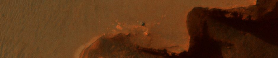
Ok, here we go, and remember to click on all the following images to bring up larger versions. First of all, let’s look at Endeavour crater as it is shown on Google Mars…

You can see from that image that Endeavoyur is very wide, and very flat too, more like a saucer than a bowl. Its rim is marked by several hilly areas, with gaps inbetween them.
Now, Google Mars very helpfully lets you stretch the vertical scale of a feature, to allow you to see detail and structure not immediately visible when looking at it in its natural state. So, let’s stretch Endeavour Crater vertically 3x and see how that changes its appearance…

Ahhhh… now you can see the hilly crater rim standing out much more clearly, can’t you? You can also see that the crater’s floor isn;t actually flat at all, it dips down quite dramatically on one side (the eastern side, for the record). Interesting…
But it’s only when you look at Endeavour Crater in 3D that it really comes to life, and we’re going to do that now. But quickly, let’s add some labels to that x3 pic, just to help us navigate…

Right… off we go. Let’s take a look at the range of hills labelled “b” first, because, to be honest, I haven’t managed to make a 3D view of “a” yet that doesn’t trigger a migraine… I should make clear here that these views are stretched vertically 3x so they look more dramatic than they actually are…

And from a different viewpoint…

What would those hills look like without stretching? Like this…

(And no, there’s still no name yet for that hillside crater, not that I’m aware of anyway…)
Moving on, let’s look at a wider angle view, showing “b” and “c” together…

That also shows the dip in the crater floor I’ve labelled “e”.
Let’s take a look at “d” now…

That’s the range of hills on the western side of Endeavour, stretching from ‘Cape Tribulation’ to ‘Point Hicks’, which will be Oppy’s (probable) destination after she’s made landfall on, and studied, the little “island” of Cape York.
So, what about the crater as a whole? What does it look like in 3D? Well, here it is without any vertical stretching…

… and vertically stretched to bring out that detail and topography…

I love that view, it really shows very clearly the uneven nature of Endeavour’s floor, and how those eastern, crater-spattered hills dominate the whole crater. 🙂
Another whole crater view…

Very interesting, I hope you’ll agree.
So, there you go. Nothing scientifically enlightening, or paradigm-shifting, just me messing about on my computer. But those images do make Endeavour feel a lot more “real” to me now. And, hopefully, to you, too. 🙂
P.S. I also tried this technique for Spirit’s landing site, around Mars at Gusev Crater, to see if it could show me the Columbia Hills in 3D… oh yes…

🙂

Superb effort Stu.
Makes my visualization much more understandable.
Any way uou could extend the view further S. at Gusev? There are some features there I am curious about.
BTW I get a little sharper image by tilting the top of my glasses forward (more parallel to computer screen ?)
Thanks, Ben
Great images! I really enjoyed the 3D!. How about including a marker within the images to show where Oppy is right now in relation to Endeavour?
Awesome Stu. Is this a new feature in GoogleMars or something you’ve produced yourself? If it’s not a standard feature then it should be!
Duh, you said it was Stereophotomaker! To busy being amazed by 3D images to absorb collection of letters and words formed into sentences.